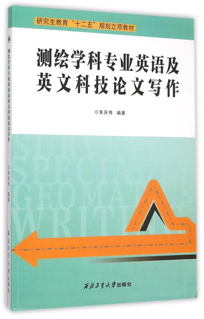
| | | | 測繪學科專業英語及英文科技論文寫作(研究生教育十二五規劃立項教材) | | 該商品所屬分類:醫學 -> 其它 | | 【市場價】 | 316-459元 | | 【優惠價】 | 198-287元 | | 【介質】 | book | | 【ISBN】 | 9787561245293 | | 【折扣說明】 | 一次購物滿999元台幣免運費+贈品
一次購物滿2000元台幣95折+免運費+贈品
一次購物滿3000元台幣92折+免運費+贈品
一次購物滿4000元台幣88折+免運費+贈品
| | 【本期贈品】 | ①優質無紡布環保袋,做工棒!②品牌簽字筆 ③品牌手帕紙巾
|
|
| 版本 | 正版全新電子版PDF檔 | | 您已选择: | 正版全新 | 溫馨提示:如果有多種選項,請先選擇再點擊加入購物車。*. 電子圖書價格是0.69折,例如了得網價格是100元,電子書pdf的價格則是69元。
*. 購買電子書不支持貨到付款,購買時選擇atm或者超商、PayPal付款。付款後1-24小時內通過郵件傳輸給您。
*. 如果收到的電子書不滿意,可以聯絡我們退款。謝謝。 | | | |
| | 內容介紹 | |

-
出版社:西北工大
-
ISBN:9787561245293
-
作者:編者:朱慶偉
-
頁數:263
-
出版日期:2015-09-01
-
印刷日期:2015-09-01
-
包裝:平裝
-
開本:16開
-
版次:1
-
印次:1
-
字數:410千字
-
朱慶偉編著的《測繪學科專業英語及英文科技論
文寫作》是為測繪專業學生編寫的專業英語及科技論
文寫作教材,適用的專業包括測繪工程、地理信息繫
統、遙感科學與技術、資源環境與城鄉規劃等。全書
由四部分組成:專業英語翻譯技巧及難點解析,專業
基礎部分(各專業均需要掌握的內容),科技論文寫作
技巧,專業方向部分(根據不同專業分別進行授課),
內容涉及基礎測繪、地理信息繫統、攝影測量與遙感
、資源環境與城鄉規劃以及測繪新技術的基本概念、
基本原理和基本方法,力求緊跟測繪科學發展前沿。
書後還附有測繪專業詞彙及短語供讀者參考。
本書可作為高校測繪及相關專業教材或測繪專業
雙語課程的輔導教材,同時亦可作為地質類、土木類
、建築類等工程技術人員學習科技英語的參考書。
-
Part I Translation Techniques for EST
1 Characteristics of EST
2 Normal Sentence Patterns and Translation of EST
3 Normal Multifunetional Words and Numbers
Part II Basic Knowledge in Geomatics
Unit 1 Surveying
Unit 2 Levels
Unit 3 Theodolites
Unit 4 Mine Surveying
Unit 5 Introduction to GIS
Unit 6 The Global Positioning System
Unit 7 Introduction to Photogrammetry
Unit 8 Principles of Remote Sensing
Unit 9 Urban Planning
Unit 10 Environmental Impact Assessment (EIA)
Part III Writing Techniques for EST
1 The Structure and Demands of EST
2 Title Writing
3 Abstract Writing
4 Normal False Expressions and Sentence Partterns
5 Contribution
Part IV Specialty Knowledge in Geomatics
Unit 1 Measuring Land Subsidence Using GPS. Ellipsoid Height versus
Orthometric Height
Unit 2 Evaluating Salinity Damage to Crops Through Satellite Data
Analysis: Application to Typhoon Affected Areas of Japan
Unit 3 On lattice Reduction Algorithms for Solving Weighted Integer Least
Squares Problems: Comparative Study
Unit 4 Tightly Coupled Integration of GPS Precise Point Positioning and
MEMS-Based Pnertial Systems
Unit 5 Enhancement of the Accuracy of Single-Epoch GPS Positioning for
Long Baselines by Local
Ionospheric Modelling
Unit 6 The Use of Elevation Adjusted Ground Control Points for Aerial
Triangulation in Coastal Areas
Unit 7 InSAR Detection of Residual Settlement of an Ocean Reclamation
Engineering Project. International Airport
Unit 8 Decadal Land Cover Change Dynamics in Bhutan
Appendix Vocabulary for Geomatics
Bibiography
| | |
| | | | |
|


